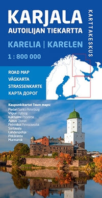


Wegenkaart Karelia«-Karjala 1:800.000
- Normale prijs
- €19,95
- Verkoopprijs
- €19,95
- Normale prijs
- Eenheid prijs
Levertijd is ongeveer 1 week
| ISBN-EAN | 9789522665751 |
| Uitgever | Karttakeskus |
| Jaar van uitgave | 2019 |
| Land | Finland-Rusland |
| Formaat | 110-81cm |
| Taal | Fins-Zweeds-Engels-Duits-Russisch |
| Levertijd | 1-5 dagen |
| Soort | Wegenkaarten |
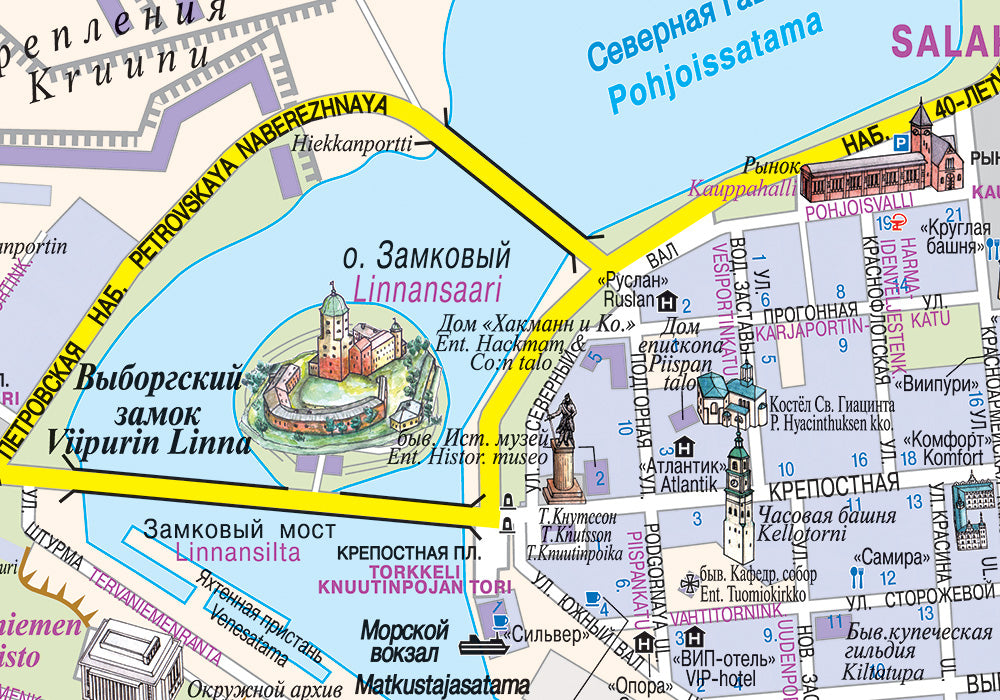
Road Map of Russian Karelia and Murmansk Region
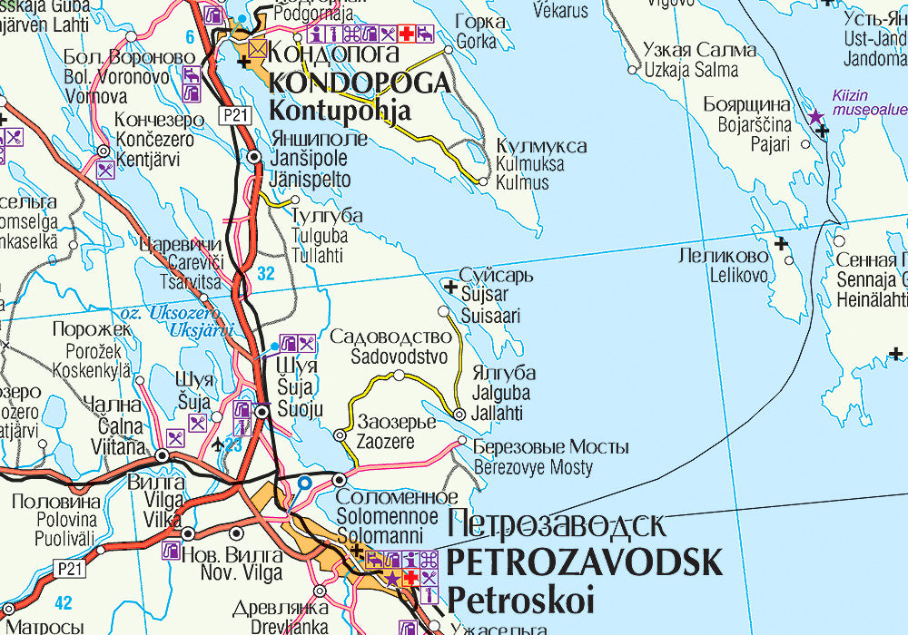
The Karelian Road Map is a part of the Road Map series that covers Finland and its vicinity. Stretching from Saint Petersburg to the Arctic Ocean, the map shows Russian Karelia and Murmansk Region. In the east it stretches to the east side of Lake Onega and the eastern part of the Kola Peninsula. Also the Finnish areas close to the national border are shown. Similar to the other road maps in the series, the scale of the map is 1:800,000 (1 cm on the map = 8 km on the ground).
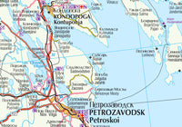
Place names on the road map are both in the Russian and in the Latin alphabet, and also the old Finnish place names have been included. Roads are all clearly marked, as well as border crossings, petrol stations, first-aid stations, sights and accommodations, for instance.
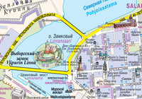
The Karelian Road Map comes with nine detailed city maps: Saint Petersburg, Vyborg, Sortavala, Priozersk, Murmansk, Petrozavodsk, Pitkyaranta, Lakhdenpokhya and Olonets.