
Hiking guide Rother Französischer Jakobsweg 33 Etappen 4.A 2015
- Regular Price
- €14,90
- Sale Price
- €14,90
- Regular Price
- Unit Price
- per
Delivery time is about 1 week
| ISBN-EAN | 9783763343508 |
| Uitgever | Rother Verlag |
| Jaar van uitgave | 2015 4th edition |
| Formaat | 16.5x11.5cm 192 pages. softcover |
| Taal | German |
| Levertijd | 1-3 days |
| Soort | Hiking guides |
Details
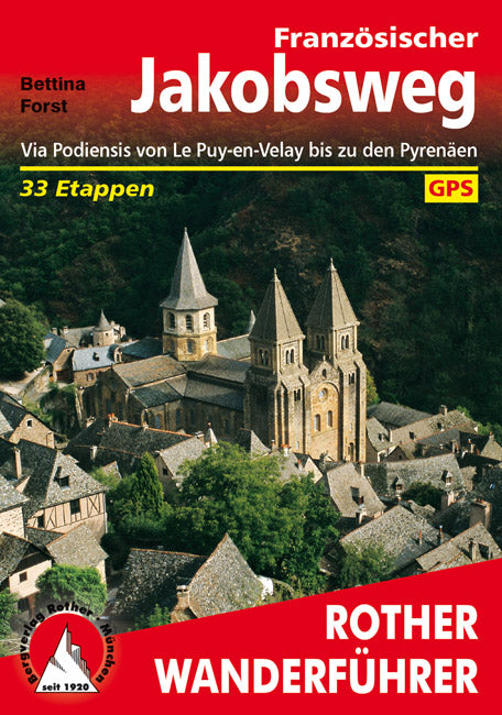
The Pilger Routes after Santiago de Compostela zum Grab des Apostels James continue throughout Europe. Since then we have seen Pilger in the Middle, West and Northern Europe of the South-Western part of France with the Gebirgskette der Pyrenäen, or from further directions, Pilgern could be found in Santiago. From the four main roads that flow through France, the Via Podiensis with access point in Le Puy-en-Velay in the southern central massiv screams as a herausragend hinsichtlich kultureller Höhepunkte und landschaftlicher Vielfalt.
Bettina Forst is always a stranger to the Jakobswege in Europe and travels with her Wandergroups. This describes the Via Podiensis, which is known as Fernwanderweg GR 65, in the form of 33 Etappen bis zum Anschluss a den Spanischen Jakobsweg in St-Jean-Pied-de-Port / Roncesvalles bzw. am Col du Somport. The route for Pilgern and Wanderers is beautiful, because of the southern central massif of the entire country of Margeride and the Aubracmassivs, because of the beautiful Lottal, the Kalkhochflächen der Causses and the Hügellandschaft of Gascony south of the Pyrenees. These small landscapes and rural areas enjoy few mountain regions and high-altitude habitats and a wide variety of flora, forest areas, natural habitats and nature reserves. Eingebettet in diese abwechslungsreiche Region säumen Kirchen, Klöster, Schlösser, Burgen und mitelalterliche Städtchen den Weg.
Detaillierte Karten, präzise Beschreibungen der eeninzelnen Streckenabschnitte inklusive aussagekräftiger Höhenprofile as well as the associated aspects of the infrastructure on the road, which is responsible for the development, efficient handling of the traffic management, the individual tour enplanung auch abweichend von im Wanderführer gewählten Etappen. Furthermore, information about information and information about the location of the hostels has been collected. All general tips regarding tour planning and planning in the beginning of the business run the practical use of these hands, which is reflected in the guidance of Rother Wanderführers ab. Particularly important aspects are included in the cultural historical and landscape aspects.
GPS tracks for all stages to be downloaded - also for the variants of the Vallée du Célé and the Col du Somport.