


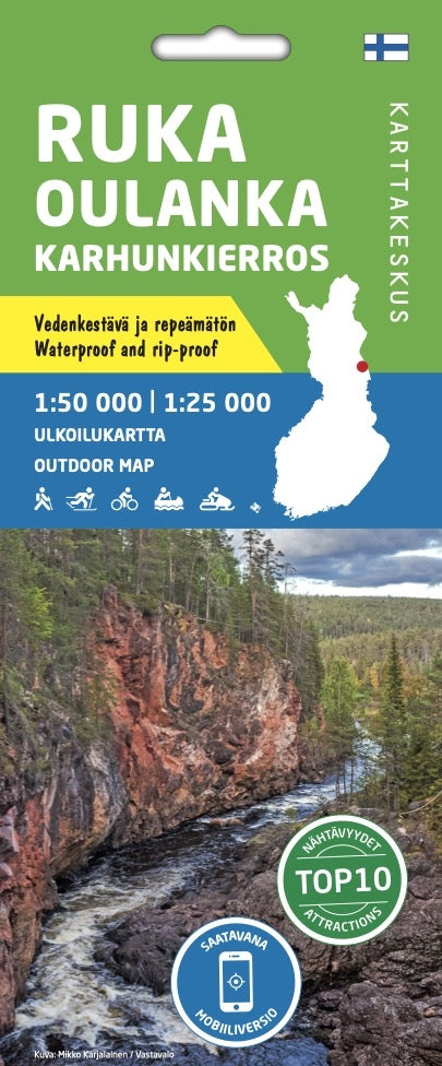
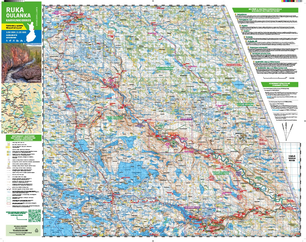
Outdoor Map Ruka Oulanka Karhunkierros 1:50,000 | 1:25,000
- Regular Price
- €21,95
- Sale Price
- €21,95
- Regular Price
- Unit Price
- per
Deliver in 1-7 days
| ISBN-EAN | 9789522666741 |
| Uitgever | Karttakes kiss |
| Jaar van uitgave | 2022 |
| Land | Finland |
| Formaat | 80 x 60cm |
| Taal | Finnish-Swedish-English-German-Russian |
| Levertijd | 1-7 days |
| Schaal | 1:50,000 | 1:25,000 |
| Soort | Walking maps |
The outdoor card Ruka Oulanka Karhunkierros 1:50 000 / 1:25 000 is printed on synthetic material.
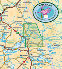
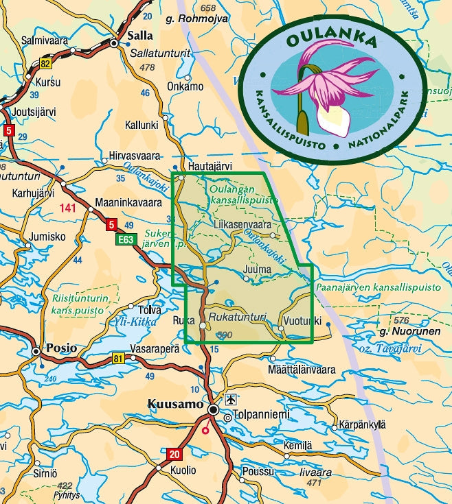
The double-sided map covers the most beautiful trekking areas of Kuusamo. Included are the popular Karhunkierros (Bear Trail) hiking trail, Oulanka National Park, the hiking trails and cross-country ski trails in the area surrounding Ruka Resort and the inviting fishing spots of the Kuusinkijoki River. The region is popular with cross-country skiers, hikers, fishermen and snowmobilers.
The material of the card is completely waterproof and can withstand almost endless folding, and it will not tear under normal card use. The characteristics are retained even in frost and heat. The card feels nice and is lighter than if it were printed on paper.
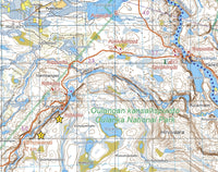
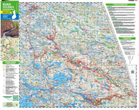
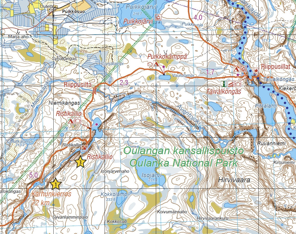
In addition to terrain data, huts, routes and other hiking services, as well as dining and overnight accommodation options, are indicated on the map. The map contains ten attractions or experiences in the area, which are described in a few sentences on the edge of the map in Finnish and English. On the edge of the map you will also find all the coordinates of the huts in the area, as well as information about the magnetic declination. The scale of the map is best suited to Finnish terrain 1:50 000 (1 cm on the map = 500 m of terrain). The most popular day walks are also described in a more detailed scale of 1:25 000.
The outdoor map Ruka Oulanka (Bear Trail) covers the most beautiful trekking areas of Kuusamo. Included are the popular Karhunkierros Hiking Trail, Oulanka National Park, the hiking trails and cross-country ski trails in the vicinity of Ruka Resort and the inviting fishing spots of the River Kuusinkijoki. The region is popular among cross-country skiers, hikers, fishers and snowmobilers.
In addition to detailed information on the terrain, the map shows eg the wilderness huts, hiking trails, snowmobile routes, eating places, accommodations and sights. Also paddling and white-water routes are shown. The Karhunkierros Trail and the Pieni Karhunkierros Trail are in their own colors to separate them clearly from the other trails. There is a larger version of the Pieni Karhunkierros Trail on the side of the map as well as a map of the Ruka Resort with road names, traveling information and details on services provided in the resort. The map has the WGS 84 coordinates of all the wilderness huts in the area and magnetic declination information.
The map can be used with three coordinate systems (metric ETRS-TM35FIN, geographic grid EUREF-FIN and the metric YKJ Uniform Coordinate System) and with a GPS device. The scale of the map is 1:50,000 (1 cm on the map = 500 m on the ground), and it is double-sided.