


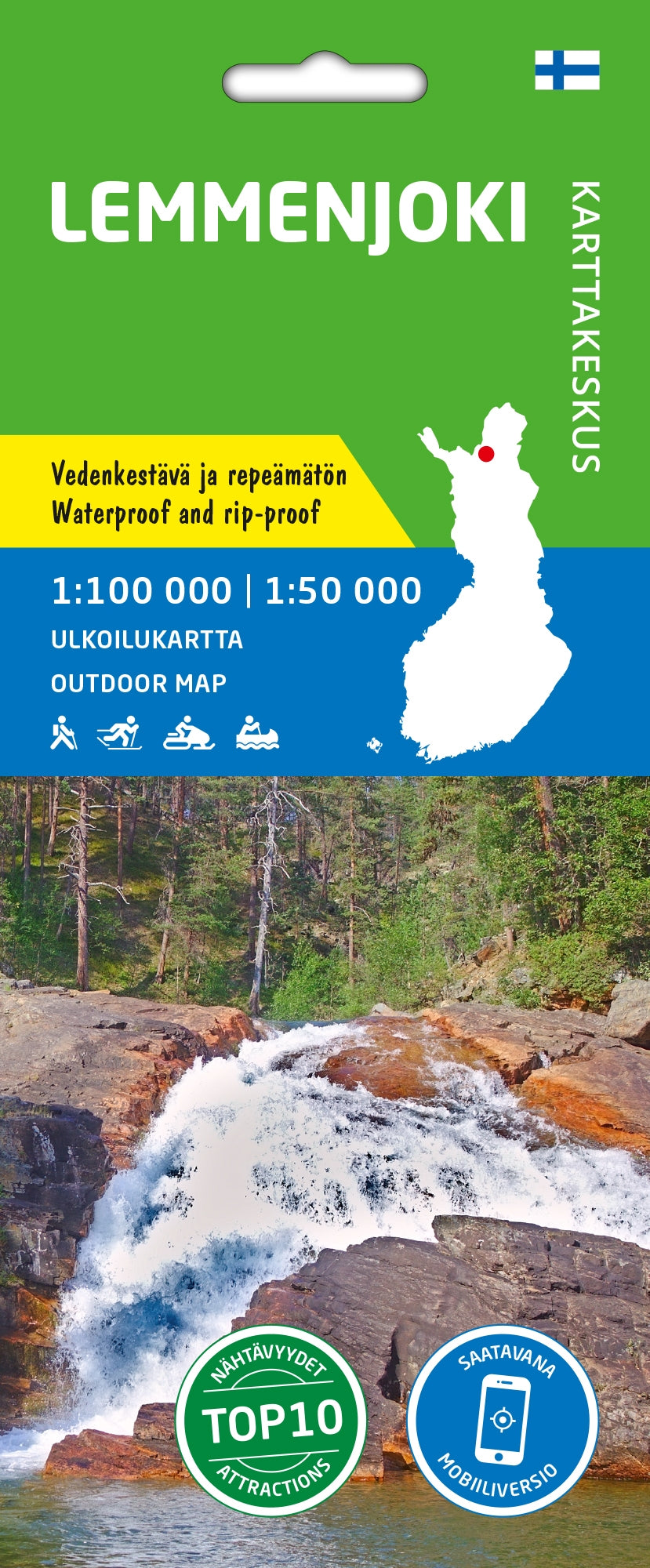
Outdoor Map Lemmenjoki 1:100,000
- Regular Price
- €21,90
- Sale Price
- €21,90
- Regular Price
- Unit Price
- per
Deliver in 1-5 days
| ISBN-EAN | 9789522667281 |
| Uitgever | Karttakes kiss |
| Jaar van uitgave | 2022 |
| Land | Finland |
| Formaat | 90.5x42cm |
| Taal | Finnish-Swedish-English-German |
| Levertijd | 1-5 days |
| Schaal | 1:100,000 |
| Soort | Walking maps |
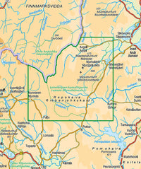
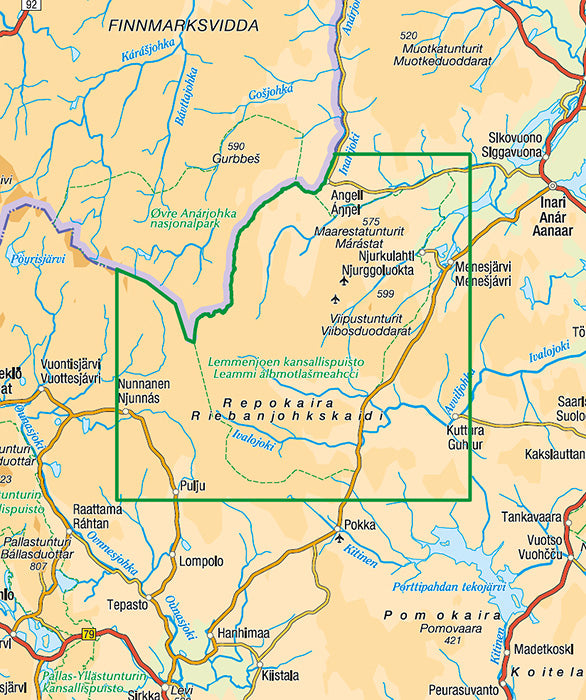
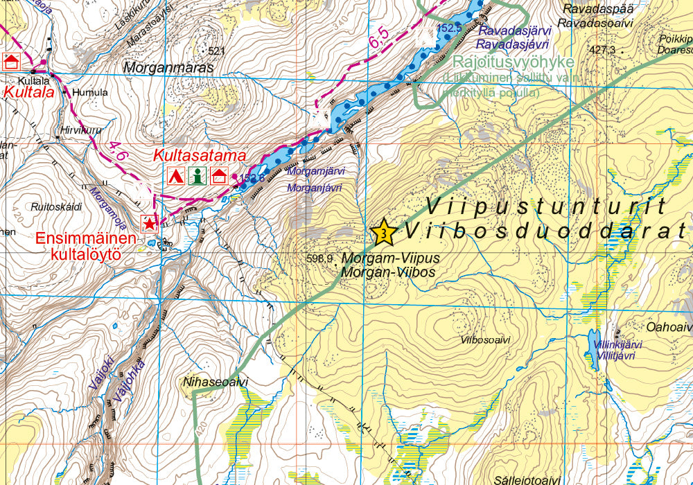
Lemmenjoki National Park offers the tranquility of wilderness. The landscape is dominated by a great river valley, rugged treeless fells and wide open wetlands. Those interested in local culture will find gold diggers, reindeer herding and historical wilderness huts.
The outdoor map shows hiking trails, water routes, snowmobile routes, nature trails and other information for trekkers and travelers, such as eating places and accommodations, sights, wilderness huts and campfire sites. The scale of the map is 1:100,000 (1 cm on the map = 1 km on the ground).
The double-sided map covers the area of Lemmenjoki National Park. In the west it stretches to the village of Nunnanen and the Norwegian border while the farthest point in the north is the village of Angeli, in the east the village of Menesjärvi and in the south the village of Pulju.
On the side of the map you will find coordinates for all the wilderness huts managed by Metsähallitus to help locate them with a GPS device.