


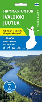
Outdoor Map Hammastunturi Ivalojoki Juutua 1:50,000
- Regular Price
- €21,90
- Sale Price
- €21,90
- Regular Price
- Unit Price
- per
Deliver in 1-5 days
| ISBN-EAN | 9789522666734 |
| Uitgever | Karttakes kiss |
| Jaar van uitgave | 2020 |
| Land | Finland |
| Formaat | 100x70cm |
| Bindwijze | Card |
| Taal | Finnish-Swedish-English-German-Russian |
| Levertijd | 1-5 days |
| Schaal | 1:50,000 |
| Soort | Walking maps |
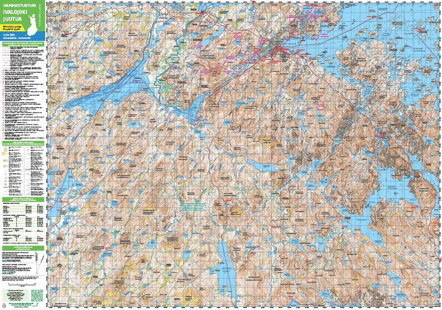
The waterproof outdoor map Hammastunturi Ivalojoki Juutua covers the wilderness area of Hammastunturi, the gold fields of the Ivalojoki River and the Juutua River. The scale of the map is 1:50,000 (1 cm on the map = 500 m on the ground).
The handy double-sided outdoor map covers the hiking areas of Inari, Ivalo and Saariselkä Resort on a single sheet. It is especially useful when hiking or cross-country skiing. Snowmobile trails and paddling trails are also included.
The map is based on a topographic map from the National Land Survey of Finland and contains a lot of additional information for hikers and travelers, such as different trails and their lengths, wilderness huts, shelters, dining options, accommodations and attractions.
On the side of the map you will find the coordinates of all wilderness huts managed by Metsähallitus so that you can locate them with a GPS device. Details about magnetic declination and the coordinate system are also included.