


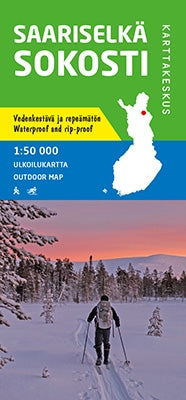
Outdoor Map Saarisselkä Sokosti 1:50.000
- Normale prijs
- €21,95
- Verkoopprijs
- €21,95
- Normale prijs
- Eenheid prijs
Levertijd is 1-5 dagen
| ISBN-EAN | 9789522665836 |
| Uitgever | Karttakeskus |
| Jaar van uitgave | 2021 |
| Land | Finland |
| Formaat | 80 x 86cm |
| Taal | Fins-Zweeds-Engels-Duits-Russisch |
| Levertijd | 1-5 dagen |
| Schaal | 1:50.000 |
| Soort | Wandelkaarten |
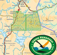
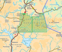
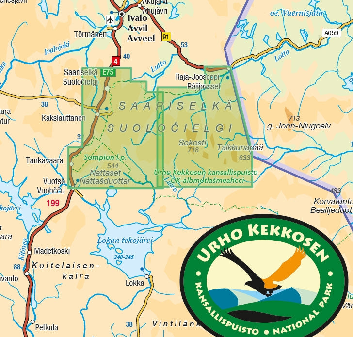
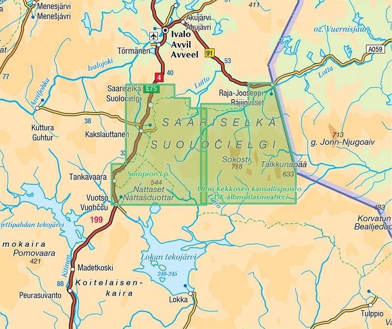
The outdoor map of Sokosti and Suomujoki covers the north-eastern part of Urho Kekkonen National Park. In the east the map stretches to the Russian border, in the west to the west side of Lake Luirojärvi, in the north to the road of Ivalo-Raja-Jooseppi and in the south to the southern limits of the Saariselkä fell area. The scale of the map is 1:50,000 (1 cm on the map = 500 m on the ground).
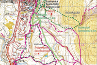
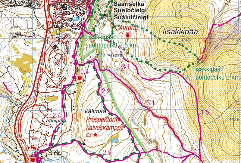
The handy single-sided outdoor map shows the hiking grounds in the wilderness of the eastern parts of the national park including Lake Luirojärvi, the Muorravaarakka River, the river valleys of Anterijoki and Jaurujoki as well as the lower reaches of the Suomujoki River. The map is especially well-suited for hiking and cross-country skiing trips.
The map is based on an accurate topographic map of the National Land Survey of Finland and has extra information for hikers and travellers, such as wilderness huts, lean-to shelters, campfire sites, bridges and sights.
On the side of the map you will find coordinates for all the wilderness huts managed by Metsähallitus to help locate them with a GPS device. In other words, the map is perfect for travellers who use GPS. In addition to the older coordinate system familiar to many (YKJ, the Uniform Coordinate System), the map has the new ETRS-TM35FIN grid.