


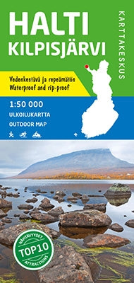
Outdoor Map Halti Kilpisjärvi 1:50.000 (2019)
- Normale prijs
- €21,95
- Verkoopprijs
- €21,95
- Normale prijs
- Eenheid prijs
Levertijd is 1-5 dagen
| ISBN-EAN | 9789522665928 |
| Uitgever | Karttakeskus |
| Jaar van uitgave | 2019 |
| Land | Finland |
| Formaat | 120x84cm |
| Taal | Fins-Zweeds-Russisch-Engels-Duits |
| Levertijd | 1-5 dagen |
| Soort | Wandelkaarten |
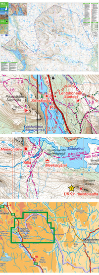
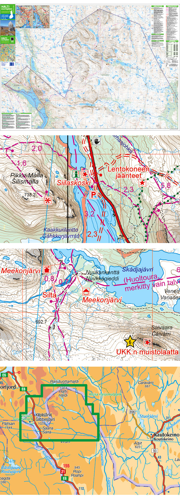
The outdoor map of Halti and Kilpisjärvi covers Finland's most impressive fells in the Käsivarsi Wilderness Area. It shows the hiking and cross-country skiing trails in the vicinity of Kilpisjärvi, Malla Strict Nature Reserve, all of Finland's peaks of over 1,000 metres and the part of the Arctic Trail running in Finland via Halti, the highest peak in the country.
In addition to detailed topographic information, the map shows e.g. the wilderness huts, hiking trails, snowmobile routes, eating places, accommodations and sights. Also parts of Sweden and Norway close to the border are shown. On the side of the map you will find a map of the village of Kilpisjärvi, coordinates to all the wilderness huts managed by Metsähallitus in the area as well as information on magnetic declination.
Halti Kilpisjärvi Outdoor Map is coloured in a slightly different way from other outdoor maps: the fell areas above tree line are in white while the forests are in green, because most of the area is above tree line. Also the colour of wetlands is different: forested wetlands have a yellow base colour while open wetlands are in white.
The map can be used with three coordinate systems (ETRS-TM35FIN, the geographic grid EUREF-FIN and the YKJ Uniform Coordinate System). The scale of the map is 1:50,000 (1 cm on the map = 500 m on the ground), and it is single-sided.