


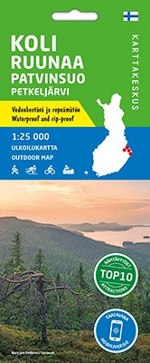
Outdoor Map Koli Ruunaa Patvinsuo Petkeljärvi 1:25.000 (2020)
- Normale prijs
- €21,90
- Verkoopprijs
- €21,90
- Normale prijs
- Eenheid prijs
Levertijd is 1-7 dagen
| ISBN-EAN | 9789522660879 |
| Uitgever | Karttakeskus |
| Jaar van uitgave | 2020 |
| Land | Finland |
| Formaat | 80x60cm |
| Bindwijze | Kaart |
| Taal | Fins-Zweeds-Engels-Duits-Russisch |
| Levertijd | 1-7 dagen |
| Soort | Wandelkaarten |
The outdoor map of Koli, Ruunaa, Patvinsuo and Petkeljärvi covers the most popular hiking areas of Northern Karelia. The double-sided sheet has the maps of three national parks (Koli, Patvinsuo and Petkeljärvi) and Ruunaa Hiking Area each at the scale of 1:25,000. The map is a revised version of the earlier separate maps of the same areas.
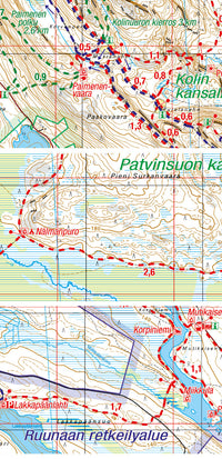
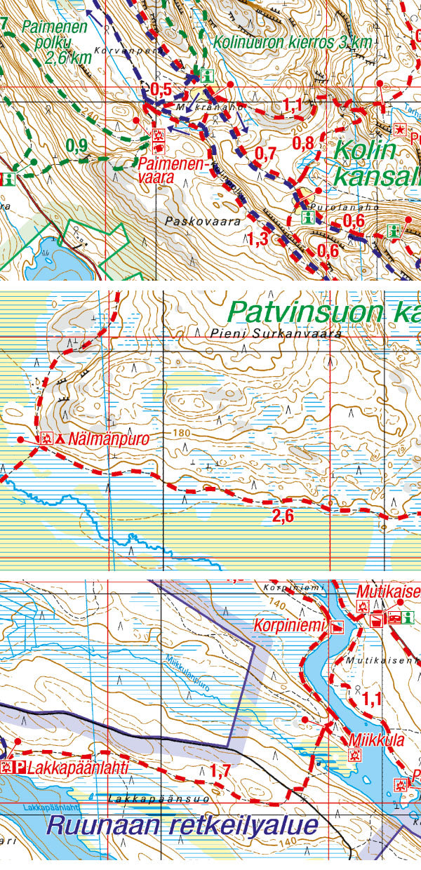
Koli is one of the most popular and most visited national parks in Finland. It has not only a beautiful national landscape but also good opportunities for making day trips or taking the Herajärvi Trail. Koli was voted the Trekking Destination of the Year 2013.
With its old forests, wide open wetlands and lakes with sandy beaches, Patvinsuo is a national park with the feel of wilderness. The trail network is well-suited to treks of a few days with the option to take a trail of Karjalan Kierros and continue south or north.
Petkeljärvi is right next to the Russian border in Ilomantsi. The national park is known for its marvellous
eskers, lakes of clear water and fortifications dating back to World War II. The park is suitable for day trips, while a hiker hoping for a longer route can take the Taitajan taival Trail northwards.
Ruunaa Hiking Area and national park in Lieksa is known for the free-flowing River Lieksa, the rapids of which offer a memorable experience for fishers, paddlers and travellers. Ruunaa has also a hiking trail network and a cross-country ski trail network of several dozen kilometres.
In addition to detailed topographic information, the outdoor map has e.g. the hiking trails, cross-country ski trails, snowmobile routes, camping structures, eating places, accommodations and sights marked. The map can be used with three coordinate systems (metric ETRS-TM35FIN, geographic grid EUREF-FIN and the metric YKJ Uniform Coordinate System).